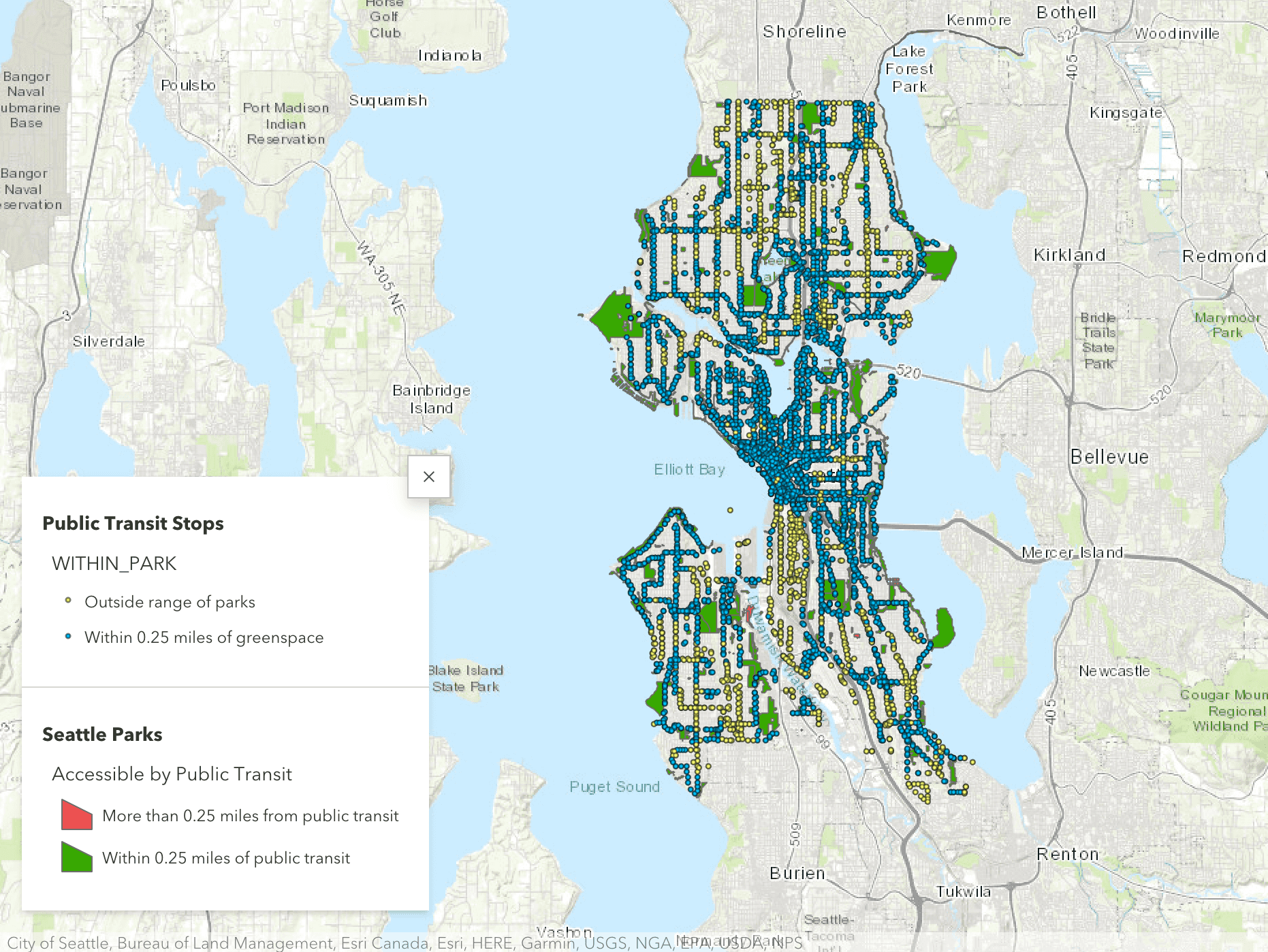
A comparison of park access through public transit stops, bike lanes, and street lighting between Seattle and Vancouver. Using ArcGIS software, analyzed the accessibility of parks using scientific methodologies to define factors that affected one's access to parks.
The final research was compiled into a paper as a arcgis storymap.
